Macosquin: heading for Portush on the A37
Introduction
The photograph on this page of Macosquin: heading for Portush on the A37 by Chris Downer as part of the Geograph project.
The Geograph project started in 2005 with the aim of publishing, organising and preserving representative images for every square kilometre of Great Britain, Ireland and the Isle of Man.

There are currently over 7.5m images from over 14,400 individuals and you can help contribute to the project by visiting https://www.geograph.org.uk
Macosquin: heading for Portush on the A37
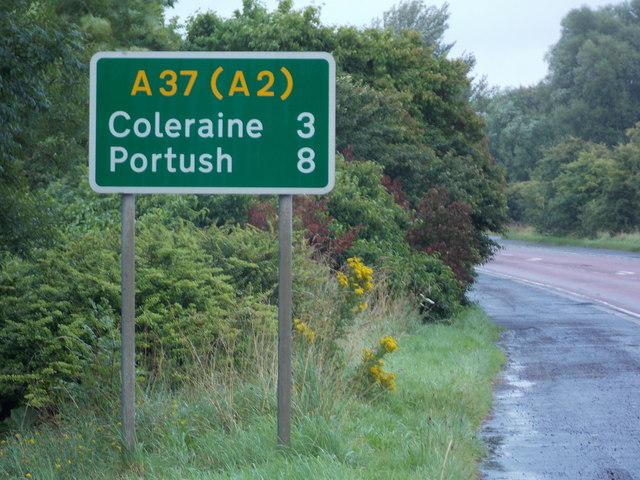
Image: © Chris Downer Taken: 3 Aug 2016
A sign on the main road skirting past Macosquin village proclaims a distance of 3 miles to Coleraine and, via the A2, 8 miles to a misspelt Portrush.
Images are licensed for reuse under creativecommons.org/licenses/by-sa/2.0
Image Location
Latitude
55.098349
Longitude
-6.707164