Interpretation board, South Hetton
Introduction
The photograph on this page of Interpretation board, South Hetton by Richard Webb as part of the Geograph project.
The Geograph project started in 2005 with the aim of publishing, organising and preserving representative images for every square kilometre of Great Britain, Ireland and the Isle of Man.

There are currently over 7.5m images from over 14,400 individuals and you can help contribute to the project by visiting https://www.geograph.org.uk
Interpretation board, South Hetton
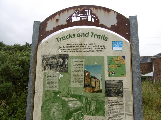
Image: © Richard Webb Taken: 9 Aug 2016
A survivor, most of these boards have been rendered illegible by idiots with spray cans. This is on an old wagonway, part of the South Hetton Railway or Bradyll's Line which connected South Hetton, Haswell, Shotton and Murton Collieries with Seaham.
Images are licensed for reuse under creativecommons.org/licenses/by-sa/2.0
Image Location
Latitude
54.79924
Longitude
-1.407022