Path to Seaham
Introduction
The photograph on this page of Path to Seaham by Richard Webb as part of the Geograph project.
The Geograph project started in 2005 with the aim of publishing, organising and preserving representative images for every square kilometre of Great Britain, Ireland and the Isle of Man.

There are currently over 7.5m images from over 14,400 individuals and you can help contribute to the project by visiting https://www.geograph.org.uk
Path to Seaham
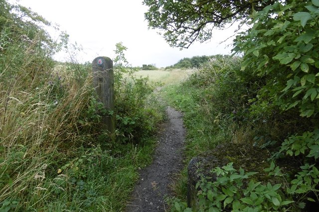
Image: © Richard Webb Taken: 9 Aug 2016
There are two routes for the National Cycle Network here: a) remain on the Durham and Sunderland Railway or b) take this path for a loop through Seaham.
Images are licensed for reuse under creativecommons.org/licenses/by-sa/2.0
Image Location
Latitude
54.849871
Longitude
-1.378401