Durham and Sunderland Railway trackbed
Introduction
The photograph on this page of Durham and Sunderland Railway trackbed by Richard Webb as part of the Geograph project.
The Geograph project started in 2005 with the aim of publishing, organising and preserving representative images for every square kilometre of Great Britain, Ireland and the Isle of Man.

There are currently over 7.5m images from over 14,400 individuals and you can help contribute to the project by visiting https://www.geograph.org.uk
Durham and Sunderland Railway trackbed
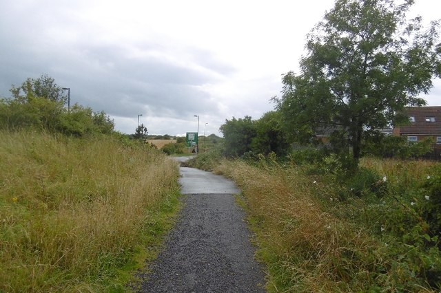
Image: © Richard Webb Taken: 9 Aug 2016
Now a path between Ryhope and its bypass, this was an early (1836) railway which until taken over by the North Eastern Railway in the 1850s was rope hauled by stationary engines. The engineers who built the line thought that this would be more reliable given the gradients than the locomotives of the age. There is quite a noticeable gradient from here up to Murton.
Images are licensed for reuse under creativecommons.org/licenses/by-sa/2.0
Image Location
Latitude
54.862377
Longitude
-1.363876