St Merryn Holiday Village
Introduction
The photograph on this page of St Merryn Holiday Village by David Hawgood as part of the Geograph project.
The Geograph project started in 2005 with the aim of publishing, organising and preserving representative images for every square kilometre of Great Britain, Ireland and the Isle of Man.

There are currently over 7.5m images from over 14,400 individuals and you can help contribute to the project by visiting https://www.geograph.org.uk
St Merryn Holiday Village
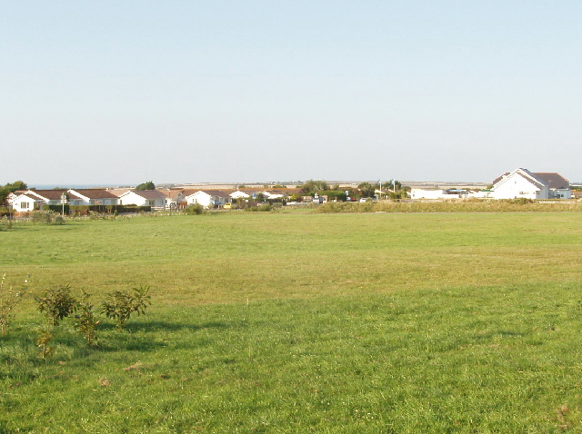
Image: © David Hawgood Taken: 3 Sep 2005
Taken from the road by the entrance to the village, which is on the former St Merryn Royal Navy Air Station which was HMS Vulture.
Images are licensed for reuse under creativecommons.org/licenses/by-sa/2.0
Image Location
Latitude
50.508635
Longitude
-4.982849