Fields near Hounslow from the air
Introduction
The photograph on this page of Fields near Hounslow from the air by Thomas Nugent as part of the Geograph project.
The Geograph project started in 2005 with the aim of publishing, organising and preserving representative images for every square kilometre of Great Britain, Ireland and the Isle of Man.

There are currently over 7.5m images from over 14,400 individuals and you can help contribute to the project by visiting https://www.geograph.org.uk
Fields near Hounslow from the air
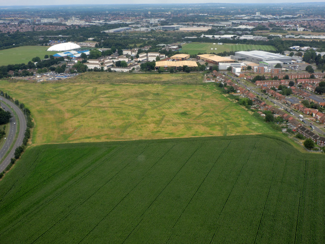
Image: © Thomas Nugent Taken: 10 Aug 2016
There are traces of archaeological dig trenches in the second field, which suggest that some development is forthcoming.
Images are licensed for reuse under creativecommons.org/licenses/by-sa/2.0
Image Location
Latitude
51.480158
Longitude
-0.40166