Former school, Alphington
Introduction
The photograph on this page of Former school, Alphington by David Smith as part of the Geograph project.
The Geograph project started in 2005 with the aim of publishing, organising and preserving representative images for every square kilometre of Great Britain, Ireland and the Isle of Man.

There are currently over 7.5m images from over 14,400 individuals and you can help contribute to the project by visiting https://www.geograph.org.uk
Former school, Alphington
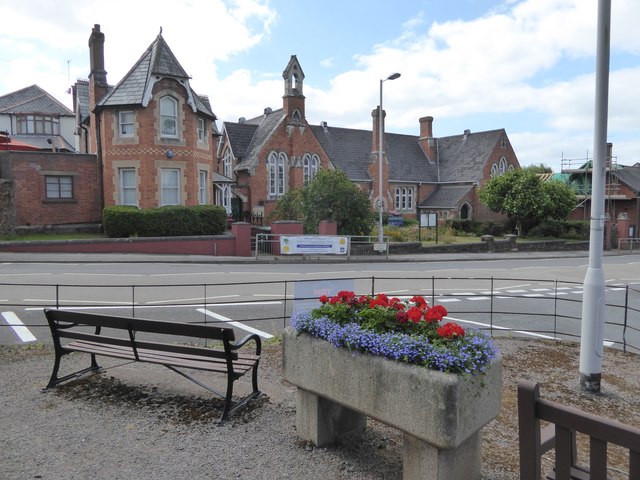
Image: © David Smith Taken: 7 Aug 2016
Looking from the triangular island in front of Alphington church. In the foreground is a horse trough and beyond the road is the former school, now Alphington Community Centre and used by Alphington Primary Pre-School (on the banner)
Images are licensed for reuse under creativecommons.org/licenses/by-sa/2.0
Image Location
Latitude
50.699717
Longitude
-3.534032