Footpath in Richmond Park
Introduction
The photograph on this page of Footpath in Richmond Park by Colin Smith as part of the Geograph project.
The Geograph project started in 2005 with the aim of publishing, organising and preserving representative images for every square kilometre of Great Britain, Ireland and the Isle of Man.

There are currently over 7.5m images from over 14,400 individuals and you can help contribute to the project by visiting https://www.geograph.org.uk
Footpath in Richmond Park
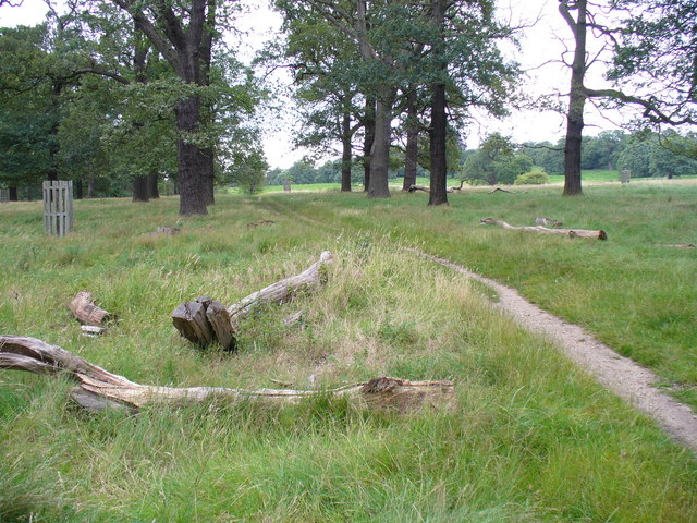
Image: © Colin Smith Taken: 27 Jul 2007
This path runs between Ham and Kingston Gates, parallel to the Queen's Road. The large trees here are mainly oak - and are the homes of many parakeets!
Images are licensed for reuse under creativecommons.org/licenses/by-sa/2.0
Image Location
Latitude
51.423683
Longitude
-0.286837