Broad Oak Road
Introduction
The photograph on this page of Broad Oak Road by Marathon as part of the Geograph project.
The Geograph project started in 2005 with the aim of publishing, organising and preserving representative images for every square kilometre of Great Britain, Ireland and the Isle of Man.

There are currently over 7.5m images from over 14,400 individuals and you can help contribute to the project by visiting https://www.geograph.org.uk
Broad Oak Road
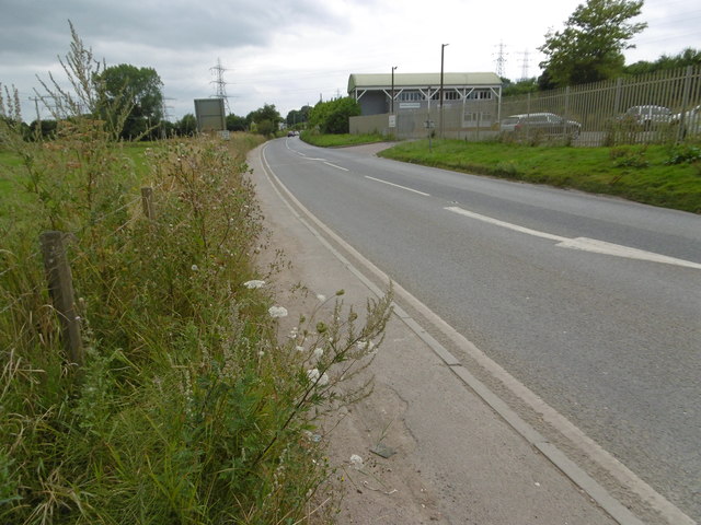
Image: © Marathon Taken: 13 Aug 2016
Broad Oak Road leads into Canterbury from Broad Oak. This is just past Broadoak Level Crossing. It is a busy road as many drivers use it to avoid the frequent jams at the level crossing next to Sturry station.
Images are licensed for reuse under creativecommons.org/licenses/by-sa/2.0
Image Location
Latitude
51.297422
Longitude
1.103414