Gallows Bank
Introduction
The photograph on this page of Gallows Bank by Ian Capper as part of the Geograph project.
The Geograph project started in 2005 with the aim of publishing, organising and preserving representative images for every square kilometre of Great Britain, Ireland and the Isle of Man.

There are currently over 7.5m images from over 14,400 individuals and you can help contribute to the project by visiting https://www.geograph.org.uk
Gallows Bank
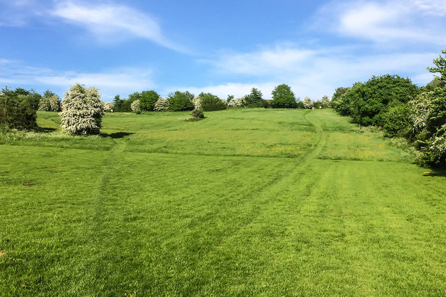
Image: © Ian Capper Taken: 22 May 2016
An area of grassland above Sheet Road, dedicated a Millennium Green in 1999. As its name suggests, it was originally the site of the town gallows.
Images are licensed for reuse under creativecommons.org/licenses/by-sa/2.0
Image Location


Leaflet Map data © OpenStreetMap
Latitude
52.367899
Longitude
-2.703825