Walkmill
Introduction
The photograph on this page of Walkmill by Ian Capper as part of the Geograph project.
The Geograph project started in 2005 with the aim of publishing, organising and preserving representative images for every square kilometre of Great Britain, Ireland and the Isle of Man.

There are currently over 7.5m images from over 14,400 individuals and you can help contribute to the project by visiting https://www.geograph.org.uk
Walkmill
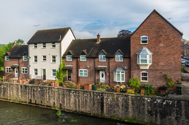
Image: © Ian Capper Taken: 22 May 2016
Housing overlooking the River Teme alongside Ludford Bridge, on the site of a former mill.
Images are licensed for reuse under creativecommons.org/licenses/by-sa/2.0
Image Location
Latitude
52.363977
Longitude
-2.717611