Leam Lane
Introduction
The photograph on this page of Leam Lane by Richard Webb as part of the Geograph project.
The Geograph project started in 2005 with the aim of publishing, organising and preserving representative images for every square kilometre of Great Britain, Ireland and the Isle of Man.

There are currently over 7.5m images from over 14,400 individuals and you can help contribute to the project by visiting https://www.geograph.org.uk
Leam Lane
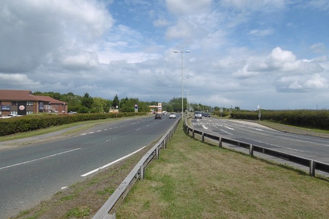
Image: © Richard Webb Taken: 9 Aug 2016
The A194 heading towards Jarrow and the Tyne Tunnel. This follows the course of a Roman road. There is a hotel on the left. The other side of the roundabout is a motorway and unsurprisingly it was very difficult to cross this road. Amazingly at the time of posting there was only a 6 white lines until the gridline windscreen posted for this square - not a popular place. First actual visit!
Images are licensed for reuse under creativecommons.org/licenses/by-sa/2.0
Image Location


Leaflet Map data © OpenStreetMap
Latitude
54.946917
Longitude
-1.514914