The Waterlink Way
Introduction
The photograph on this page of The Waterlink Way by Des Blenkinsopp as part of the Geograph project.
The Geograph project started in 2005 with the aim of publishing, organising and preserving representative images for every square kilometre of Great Britain, Ireland and the Isle of Man.

There are currently over 7.5m images from over 14,400 individuals and you can help contribute to the project by visiting https://www.geograph.org.uk
The Waterlink Way
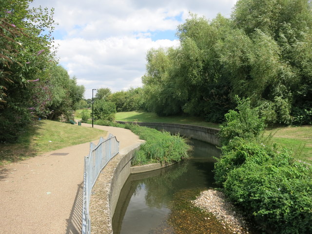
Image: © Des Blenkinsopp Taken: 9 Aug 2016
The Waterlink Way is a 12km path following the Pool and Ravensbourne rivers from Beckenham to the Thames. https://www.lewisham.gov.uk/inmyarea/sport/get-active/walking/Pages/Waterlink-Way.aspx
Images are licensed for reuse under creativecommons.org/licenses/by-sa/2.0
Image Location
Latitude
51.433306
Longitude
-0.029385