Farmland near Gillingham
Introduction
The photograph on this page of Farmland near Gillingham by Derek Harper as part of the Geograph project.
The Geograph project started in 2005 with the aim of publishing, organising and preserving representative images for every square kilometre of Great Britain, Ireland and the Isle of Man.

There are currently over 7.5m images from over 14,400 individuals and you can help contribute to the project by visiting https://www.geograph.org.uk
Farmland near Gillingham
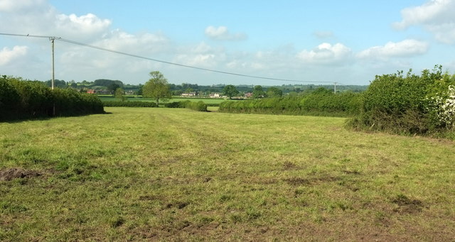
Image: © Derek Harper Taken: 26 May 2016
A view from footpath N64 33, taken at the same spot as Image In the distance are buildings at Madjeston.
Images are licensed for reuse under creativecommons.org/licenses/by-sa/2.0
Image Location
Latitude
51.027669
Longitude
-2.263746