External alterations to Stephenson House, 7-10, The Grove
Introduction
The photograph on this page of External alterations to Stephenson House, 7-10, The Grove by John Baker as part of the Geograph project.
The Geograph project started in 2005 with the aim of publishing, organising and preserving representative images for every square kilometre of Great Britain, Ireland and the Isle of Man.

There are currently over 7.5m images from over 14,400 individuals and you can help contribute to the project by visiting https://www.geograph.org.uk
External alterations to Stephenson House, 7-10, The Grove
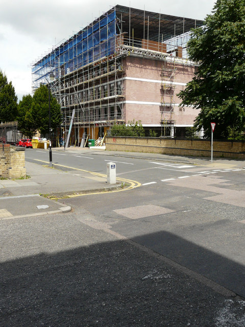
Image: © John Baker Taken: 21 Jul 2016
The ongoing work to this building is described in Gravesham Borough Council’s planning application 20150530 as the “external alterations to the building comprising replacement windows, insertion of flues and partial re-cladding, including erection of a cycle store and ancillary landscaping”.
Images are licensed for reuse under creativecommons.org/licenses/by-sa/2.0
Image Location
Latitude
51.440601
Longitude
0.372835