Rookcross Lane
Introduction
The photograph on this page of Rookcross Lane by Simon Carey as part of the Geograph project.
The Geograph project started in 2005 with the aim of publishing, organising and preserving representative images for every square kilometre of Great Britain, Ireland and the Isle of Man.

There are currently over 7.5m images from over 14,400 individuals and you can help contribute to the project by visiting https://www.geograph.org.uk
Rookcross Lane
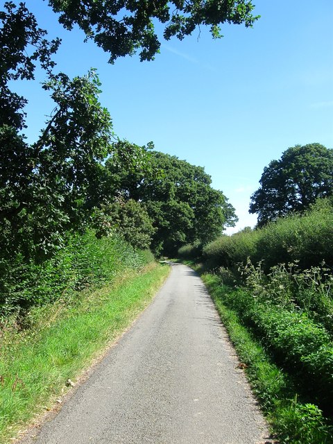
Image: © Simon Carey Taken: 9 Aug 2016
A public highway linking the A24 to Rookcross Farm. South of the latter the lane continues albeit as a private road to Hobshorts Farm. This section is located to the south of Image with Image beyond the hedge to the left.
Images are licensed for reuse under creativecommons.org/licenses/by-sa/2.0
Image Location
Latitude
50.970625
Longitude
-0.342871