Walmer Green
Introduction
The photograph on this page of Walmer Green by Marathon as part of the Geograph project.
The Geograph project started in 2005 with the aim of publishing, organising and preserving representative images for every square kilometre of Great Britain, Ireland and the Isle of Man.

There are currently over 7.5m images from over 14,400 individuals and you can help contribute to the project by visiting https://www.geograph.org.uk
Walmer Green
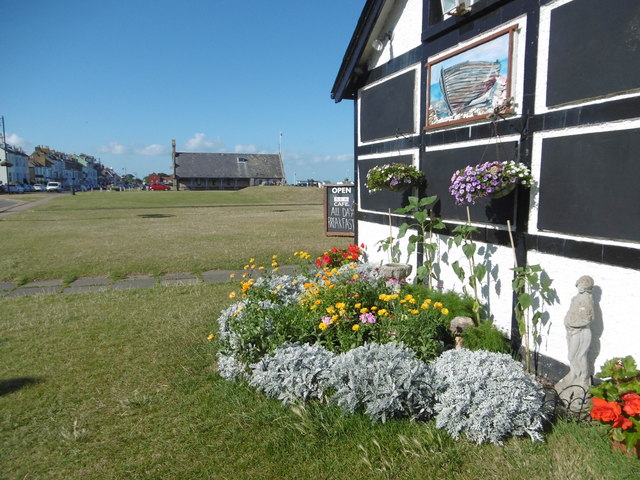
Image: © Marathon Taken: 7 Aug 2016
This view is next to the Sea Cafe. Walmer Lifeboat Station can be seen in the distance. This was established in 1830. For more about Walmer Lifeboat Station see https://en.wikipedia.org/wiki/Walmer_Lifeboat_Station
Images are licensed for reuse under creativecommons.org/licenses/by-sa/2.0
Image Location
Latitude
51.212728
Longitude
1.402756