Former farmhouse in Satley
Introduction
The photograph on this page of Former farmhouse in Satley by Robert Graham as part of the Geograph project.
The Geograph project started in 2005 with the aim of publishing, organising and preserving representative images for every square kilometre of Great Britain, Ireland and the Isle of Man.

There are currently over 7.5m images from over 14,400 individuals and you can help contribute to the project by visiting https://www.geograph.org.uk
Former farmhouse in Satley
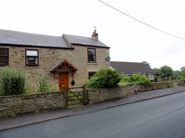
Image: © Robert Graham Taken: 29 Jul 2016
This is Mill Farm, on the north side of the village. Does not appear to be a working farm now.
Images are licensed for reuse under creativecommons.org/licenses/by-sa/2.0
Image Location
Latitude
54.785993
Longitude
-1.817572