Need's Bridge
Introduction
The photograph on this page of Need's Bridge by Simon Carey as part of the Geograph project.
The Geograph project started in 2005 with the aim of publishing, organising and preserving representative images for every square kilometre of Great Britain, Ireland and the Isle of Man.

There are currently over 7.5m images from over 14,400 individuals and you can help contribute to the project by visiting https://www.geograph.org.uk
Need's Bridge
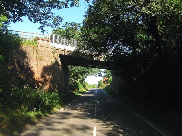
Image: © Simon Carey Taken: 9 Aug 2016
Taking the former Shoreham-Christ's Hospital railway over the B2135. The former was opened in 1861 and closed in 1966 being converted into a long distance footpath, the Downs link in 1985. The B2135 changes name from Need's Hill to Steyning Road beyond the bridge. The house visible in the distance is Image
Images are licensed for reuse under creativecommons.org/licenses/by-sa/2.0
Image Location


Leaflet Map data © OpenStreetMap
Latitude
50.973298
Longitude
-0.315997