Dumblehole Lane
Introduction
The photograph on this page of Dumblehole Lane by Richard Webb as part of the Geograph project.
The Geograph project started in 2005 with the aim of publishing, organising and preserving representative images for every square kilometre of Great Britain, Ireland and the Isle of Man.

There are currently over 7.5m images from over 14,400 individuals and you can help contribute to the project by visiting https://www.geograph.org.uk
Dumblehole Lane
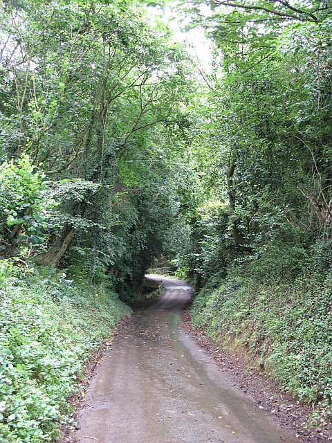
Image: © Richard Webb Taken: 25 Jul 2007
Sunken lane, with banks prone to collapse. This was the road to Little Hereford, but now just a footpath on the Herefordshire end. At one time there was a ford at the bottom of this bank but Grey Men from the council decided it should be culverted.
Images are licensed for reuse under creativecommons.org/licenses/by-sa/2.0
Image Location


Leaflet Map data © OpenStreetMap
Latitude
52.327206
Longitude
-2.696649