The Slitrig Water, Hawick
Introduction
The photograph on this page of The Slitrig Water, Hawick by Jim Barton as part of the Geograph project.
The Geograph project started in 2005 with the aim of publishing, organising and preserving representative images for every square kilometre of Great Britain, Ireland and the Isle of Man.

There are currently over 7.5m images from over 14,400 individuals and you can help contribute to the project by visiting https://www.geograph.org.uk
The Slitrig Water, Hawick
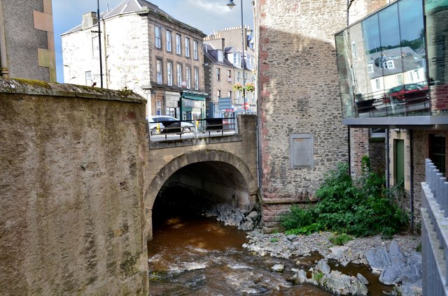
Image: © Jim Barton Taken: 8 Aug 2016
The Slitrig Water flowing beneath the High Street just before the confluence with the Teviot, seen from Silver Street.
Images are licensed for reuse under creativecommons.org/licenses/by-sa/2.0
Image Location
Latitude
55.421233
Longitude
-2.788625