Lane above Green House
Introduction
The photograph on this page of Lane above Green House by Trevor Rickard as part of the Geograph project.
The Geograph project started in 2005 with the aim of publishing, organising and preserving representative images for every square kilometre of Great Britain, Ireland and the Isle of Man.

There are currently over 7.5m images from over 14,400 individuals and you can help contribute to the project by visiting https://www.geograph.org.uk
Lane above Green House
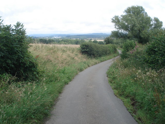
Image: © Trevor Rickard Taken: 25 Jul 2007
Looking eastwards with the Malvern Hills on the horizon to the left.
Images are licensed for reuse under creativecommons.org/licenses/by-sa/2.0
Image Location
Latitude
52.027152
Longitude
-2.531649