Sherburn Brow
Introduction
The photograph on this page of Sherburn Brow by Gordon Hatton as part of the Geograph project.
The Geograph project started in 2005 with the aim of publishing, organising and preserving representative images for every square kilometre of Great Britain, Ireland and the Isle of Man.

There are currently over 7.5m images from over 14,400 individuals and you can help contribute to the project by visiting https://www.geograph.org.uk
Sherburn Brow
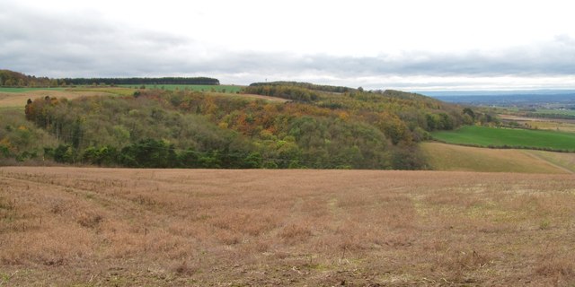
Image: © Gordon Hatton Taken: 9 Nov 2015
The northern edge of the Wolds, which at this point drop some 100m to the edge of the Vale of Pickering.
Images are licensed for reuse under creativecommons.org/licenses/by-sa/2.0
Image Location
Latitude
54.165648
Longitude
-0.52651