Path to Wold House
Introduction
The photograph on this page of Path to Wold House by Gordon Hatton as part of the Geograph project.
The Geograph project started in 2005 with the aim of publishing, organising and preserving representative images for every square kilometre of Great Britain, Ireland and the Isle of Man.

There are currently over 7.5m images from over 14,400 individuals and you can help contribute to the project by visiting https://www.geograph.org.uk
Path to Wold House
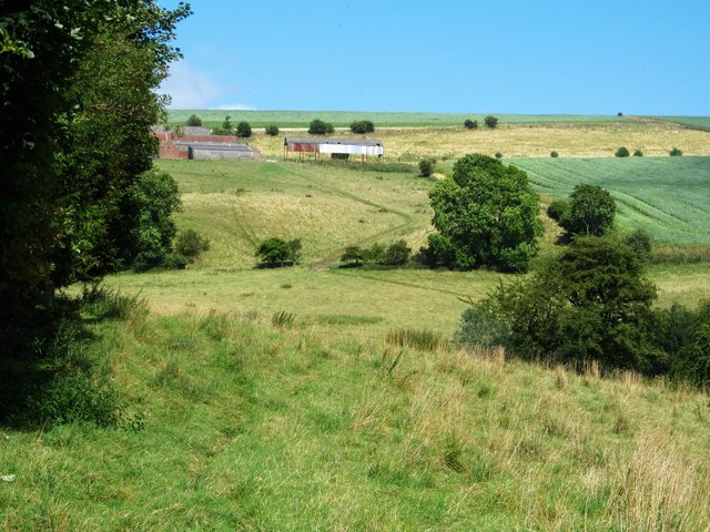
Image: © Gordon Hatton Taken: 7 Aug 2016
The path is not clear as it makes its way through long grass below a strip of woodland. Around the corner and in the dip is the only wet surprise on a 9 mile walk, as a gate is positioned just where springs emerge from the hillside.
Images are licensed for reuse under creativecommons.org/licenses/by-sa/2.0
Image Location
Latitude
54.121858
Longitude
-0.696531