Centenary Way approaching Kirk Hill
Introduction
The photograph on this page of Centenary Way approaching Kirk Hill by Gordon Hatton as part of the Geograph project.
The Geograph project started in 2005 with the aim of publishing, organising and preserving representative images for every square kilometre of Great Britain, Ireland and the Isle of Man.

There are currently over 7.5m images from over 14,400 individuals and you can help contribute to the project by visiting https://www.geograph.org.uk
Centenary Way approaching Kirk Hill
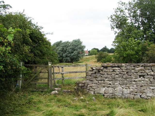
Image: © Gordon Hatton Taken: 7 Aug 2016
The footpath keeps close to the banks of Settrington Beck for some way here, but the line is often hidden by long grass, suggesting that the Centenary Way does not see that many users. Kirk Hill farm is just visible, old OS maps suggest the site of an early church nearby - thus the name. Note that the wall appears to be made of a jurassic limestone, despite the fact that the area is just below the western edge of the chalk Wolds.
Images are licensed for reuse under creativecommons.org/licenses/by-sa/2.0
Image Location
Latitude
54.11358
Longitude
-0.712395