Paths, Upton
Introduction
The photograph on this page of Paths, Upton by Derek Harper as part of the Geograph project.
The Geograph project started in 2005 with the aim of publishing, organising and preserving representative images for every square kilometre of Great Britain, Ireland and the Isle of Man.

There are currently over 7.5m images from over 14,400 individuals and you can help contribute to the project by visiting https://www.geograph.org.uk
Paths, Upton
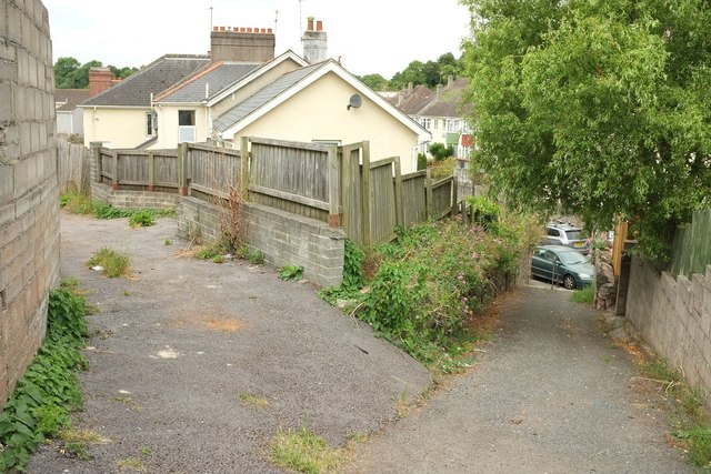
Image: © Derek Harper Taken: 30 Jul 2016
Taken from the spot where Image] was seen. The main path drops to the right down steps to meet Chatto Road. On the left is a back lane between Chatto Road and Hill Park Road.
Images are licensed for reuse under creativecommons.org/licenses/by-sa/2.0
Image Location
Latitude
50.478043
Longitude
-3.532903