Path North of the Old Mineral Line near Thurcroft
Introduction
The photograph on this page of Path North of the Old Mineral Line near Thurcroft by Jonathan Clitheroe as part of the Geograph project.
The Geograph project started in 2005 with the aim of publishing, organising and preserving representative images for every square kilometre of Great Britain, Ireland and the Isle of Man.

There are currently over 7.5m images from over 14,400 individuals and you can help contribute to the project by visiting https://www.geograph.org.uk
Path North of the Old Mineral Line near Thurcroft
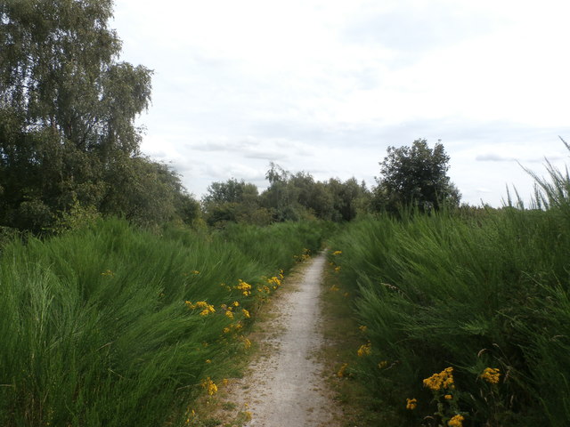
Image: © Jonathan Clitheroe Taken: 5 Aug 2016
Former branch line to the old pit. A virulent weed has taken hold here - it looks a bit like rampant horsetail.
Images are licensed for reuse under creativecommons.org/licenses/by-sa/2.0
Image Location
Latitude
53.395631
Longitude
-1.24624