Wheat fields, Iver
Introduction
The photograph on this page of Wheat fields, Iver by Rob Emms as part of the Geograph project.
The Geograph project started in 2005 with the aim of publishing, organising and preserving representative images for every square kilometre of Great Britain, Ireland and the Isle of Man.

There are currently over 7.5m images from over 14,400 individuals and you can help contribute to the project by visiting https://www.geograph.org.uk
Wheat fields, Iver
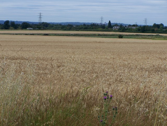
Image: © Rob Emms Taken: 28 Jul 2016
On the horizon, just right of middle pylon, if you look carefully, 7km in the distance, you can see Windsor Castle.
Images are licensed for reuse under creativecommons.org/licenses/by-sa/2.0
Image Location


Leaflet Map data © OpenStreetMap
Latitude
51.515788
Longitude
-0.519747