Benchmark at Lew Hollow, near Seaton
Introduction
The photograph on this page of Benchmark at Lew Hollow, near Seaton by Becky Williamson as part of the Geograph project.
The Geograph project started in 2005 with the aim of publishing, organising and preserving representative images for every square kilometre of Great Britain, Ireland and the Isle of Man.

There are currently over 7.5m images from over 14,400 individuals and you can help contribute to the project by visiting https://www.geograph.org.uk
Benchmark at Lew Hollow, near Seaton
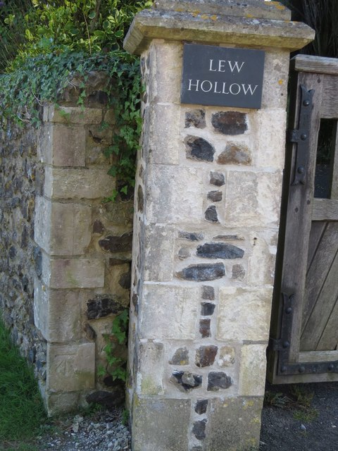
Image: © Becky Williamson Taken: 6 Aug 2016
Ordnance Survey benchmark situated on gatepost to large manor house near Seaton Hole. For full description on database, see http://www.bench-marks.org.uk/bm36979.
Images are licensed for reuse under creativecommons.org/licenses/by-sa/2.0
Image Location
Latitude
50.701255
Longitude
-3.085044