Looking north up the B6296
Introduction
The photograph on this page of Looking north up the B6296 by Robert Graham as part of the Geograph project.
The Geograph project started in 2005 with the aim of publishing, organising and preserving representative images for every square kilometre of Great Britain, Ireland and the Isle of Man.

There are currently over 7.5m images from over 14,400 individuals and you can help contribute to the project by visiting https://www.geograph.org.uk
Looking north up the B6296
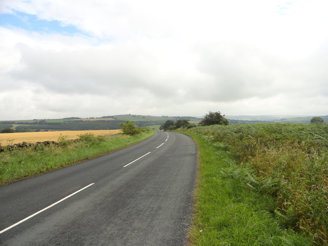
Image: © Robert Graham Taken: 29 Jul 2016
From a position just north of the entrance to Land House farm. A short way ahead, the road starts its descent into the Browney valley, the north slope of which can be seen in the distance. Humber Hill is on the horizon in the centre.
Images are licensed for reuse under creativecommons.org/licenses/by-sa/2.0
Image Location
Latitude
54.795401
Longitude
-1.80011