Hill Road, Sandford
Introduction
The photograph on this page of Hill Road, Sandford by Derek Harper as part of the Geograph project.
The Geograph project started in 2005 with the aim of publishing, organising and preserving representative images for every square kilometre of Great Britain, Ireland and the Isle of Man.

There are currently over 7.5m images from over 14,400 individuals and you can help contribute to the project by visiting https://www.geograph.org.uk
Hill Road, Sandford
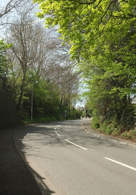
Image: © Derek Harper Taken: 3 May 2016
Curving away from the A368 past All Saints' Church on the right, with one of the bus stops shown in Image
Images are licensed for reuse under creativecommons.org/licenses/by-sa/2.0
Image Location
Latitude
51.331911
Longitude
-2.831307