Road north out of Stannington
Introduction
The photograph on this page of Road north out of Stannington by Graham Robson as part of the Geograph project.
The Geograph project started in 2005 with the aim of publishing, organising and preserving representative images for every square kilometre of Great Britain, Ireland and the Isle of Man.

There are currently over 7.5m images from over 14,400 individuals and you can help contribute to the project by visiting https://www.geograph.org.uk
Road north out of Stannington
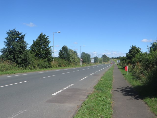
Image: © Graham Robson Taken: 6 Aug 2016
Looking north along the road north out of Stannington. This road was formerly the A1, and before that the Great North Road. This road joins the modern dual carriageway of the A1 in the distance at the northern end of the bypass.
Images are licensed for reuse under creativecommons.org/licenses/by-sa/2.0
Image Location
Latitude
55.111248
Longitude
-1.66749