North Millfields Recreation Ground
Introduction
The photograph on this page of North Millfields Recreation Ground by Stephen McKay as part of the Geograph project.
The Geograph project started in 2005 with the aim of publishing, organising and preserving representative images for every square kilometre of Great Britain, Ireland and the Isle of Man.

There are currently over 7.5m images from over 14,400 individuals and you can help contribute to the project by visiting https://www.geograph.org.uk
North Millfields Recreation Ground
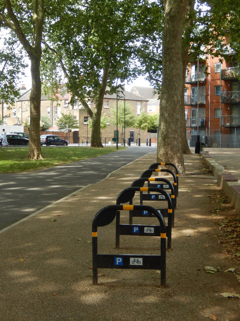
Image: © Stephen McKay Taken: 5 Aug 2016
There are no takers for the cycle stands close to the Casimir Road gate. North Millfields was laid out as a recreation ground by London County Council in 1884.
Images are licensed for reuse under creativecommons.org/licenses/by-sa/2.0
Image Location
Latitude
51.562275
Longitude
-0.051804