Restricted access at Bluehouse Bridges
Introduction
The photograph on this page of Restricted access at Bluehouse Bridges by Oliver Dixon as part of the Geograph project.
The Geograph project started in 2005 with the aim of publishing, organising and preserving representative images for every square kilometre of Great Britain, Ireland and the Isle of Man.

There are currently over 7.5m images from over 14,400 individuals and you can help contribute to the project by visiting https://www.geograph.org.uk
Restricted access at Bluehouse Bridges
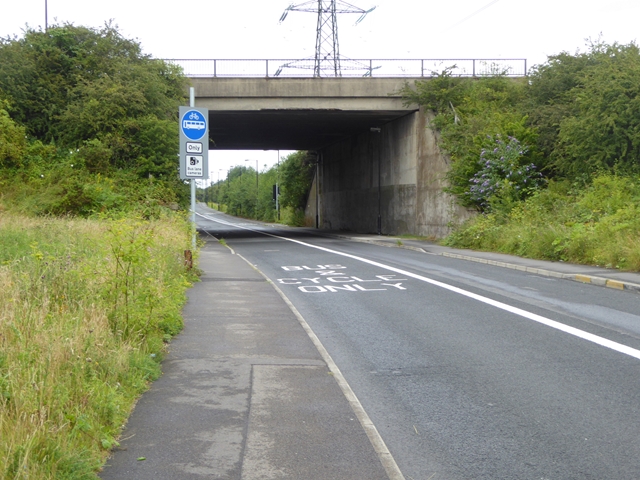
Image: © Oliver Dixon Taken: 5 Aug 2016
The way out to the north from High Flatworth under the bridge carrying the Coast Road is restricted to bikes and buses. This means that the only exit from the Tyne Tunnel Trading Estate is to the south onto the A193.
Images are licensed for reuse under creativecommons.org/licenses/by-sa/2.0
Image Location
Latitude
55.01062
Longitude
-1.490379