Fence & stream near Hafodrisclawdd-isaf
Introduction
The photograph on this page of Fence & stream near Hafodrisclawdd-isaf by M J Roscoe as part of the Geograph project.
The Geograph project started in 2005 with the aim of publishing, organising and preserving representative images for every square kilometre of Great Britain, Ireland and the Isle of Man.

There are currently over 7.5m images from over 14,400 individuals and you can help contribute to the project by visiting https://www.geograph.org.uk
Fence & stream near Hafodrisclawdd-isaf
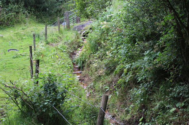
Image: © M J Roscoe Taken: 4 Aug 2016
Looking upstream to the camera position for Image; the discoloured stream is flowing out of a culvert underneath the gate. Part of Hafodrisclawdd Site of Importance for Nature Conservation.
Images are licensed for reuse under creativecommons.org/licenses/by-sa/2.0
Image Location
Latitude
51.701725
Longitude
-3.179432