St Martin's Close, Penarth
Introduction
The photograph on this page of St Martin's Close, Penarth by Jaggery as part of the Geograph project.
The Geograph project started in 2005 with the aim of publishing, organising and preserving representative images for every square kilometre of Great Britain, Ireland and the Isle of Man.

There are currently over 7.5m images from over 14,400 individuals and you can help contribute to the project by visiting https://www.geograph.org.uk
St Martin's Close, Penarth
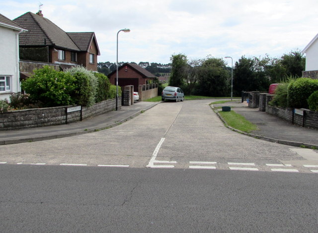
Image: © Jaggery Taken: 5 Aug 2016
Cul-de-sac on the south side of Dinas Road. Cwrt-y-Vil recreation ground http://www.geograph.org.uk/photo/1950940 is behind St Martin's Close.
Images are licensed for reuse under creativecommons.org/licenses/by-sa/2.0
Image Location
Latitude
51.428739
Longitude
-3.187779