Lower Galdeford
Introduction
The photograph on this page of Lower Galdeford by Ian Capper as part of the Geograph project.
The Geograph project started in 2005 with the aim of publishing, organising and preserving representative images for every square kilometre of Great Britain, Ireland and the Isle of Man.

There are currently over 7.5m images from over 14,400 individuals and you can help contribute to the project by visiting https://www.geograph.org.uk
Lower Galdeford
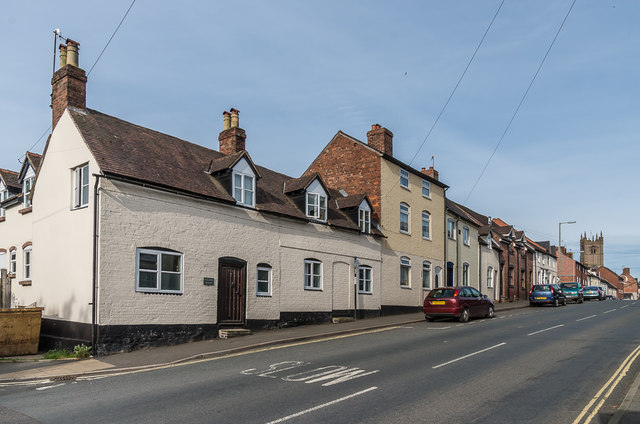
Image: © Ian Capper Taken: 19 May 2016
Looking up Lower Galdeford with the tower of St Laurence's Church in the right background. The nearest building is nos. 65 and 66, a pair of 18th Century grade II listed cottages - see https://www.historicengland.org.uk/listing/the-list/list-entry/1290227. No 65 is named Tallow House and is adjacent to Chandlers Close, suggesting a local industry connected to the cattle market that once was once situated a short distance down Lower Galdeford.
Images are licensed for reuse under creativecommons.org/licenses/by-sa/2.0
Image Location
Latitude
52.367541
Longitude
-2.712455