Rough pasture on the east side of Cashel Lane
Introduction
The photograph on this page of Rough pasture on the east side of Cashel Lane by Eric Jones as part of the Geograph project.
The Geograph project started in 2005 with the aim of publishing, organising and preserving representative images for every square kilometre of Great Britain, Ireland and the Isle of Man.

There are currently over 7.5m images from over 14,400 individuals and you can help contribute to the project by visiting https://www.geograph.org.uk
Rough pasture on the east side of Cashel Lane
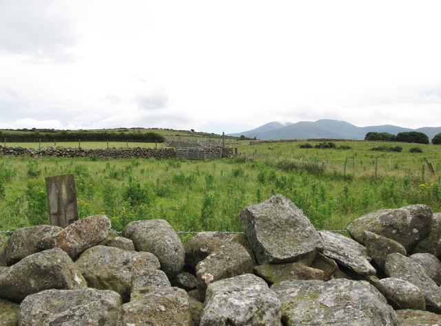
Image: © Eric Jones Taken: 7 Jul 2016
This contrasts with the improved pasture and hay meadows which characterise most of this area.
Images are licensed for reuse under creativecommons.org/licenses/by-sa/2.0
Image Location
Latitude
54.244525
Longitude
-5.964967