Blanches Road, Partridge Green
Introduction
The photograph on this page of Blanches Road, Partridge Green by Simon Carey as part of the Geograph project.
The Geograph project started in 2005 with the aim of publishing, organising and preserving representative images for every square kilometre of Great Britain, Ireland and the Isle of Man.

There are currently over 7.5m images from over 14,400 individuals and you can help contribute to the project by visiting https://www.geograph.org.uk
Blanches Road, Partridge Green
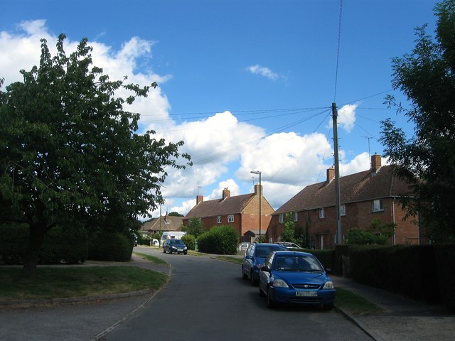
Image: © Simon Carey Taken: 31 Jul 2016
A residential road that runs from Littleworth Lane to The Rise. The southern part in view was built in the 1950s and was originally known as Blanches Close until the 1960s when the road was extended northwards, see Image Originally part of a field called Old Meadow according to West Grinstead's 1841 tithe map.
Images are licensed for reuse under creativecommons.org/licenses/by-sa/2.0
Image Location
Latitude
50.961844
Longitude
-0.301316