Westward from just north of Cerrigydrudion, 1995
Introduction
The photograph on this page of Westward from just north of Cerrigydrudion, 1995 by Ben Brooksbank as part of the Geograph project.
The Geograph project started in 2005 with the aim of publishing, organising and preserving representative images for every square kilometre of Great Britain, Ireland and the Isle of Man.

There are currently over 7.5m images from over 14,400 individuals and you can help contribute to the project by visiting https://www.geograph.org.uk
Westward from just north of Cerrigydrudion, 1995
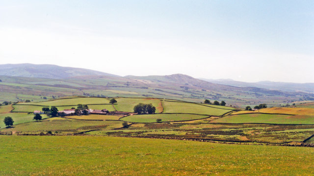
Image: © Ben Brooksbank Taken: 5 Aug 1995
Taken from the same spot as Image and Image, the three views virtually join and complete a panorama on the eastern edge of the Snowdonia National Park. In the middle are the lesser mountains on the western side of the Alwen reservoir; in the far horizon, 20 - 25 miles away, can faintly be seen (probably) Moel Siabod (2,860 ft.).
Images are licensed for reuse under creativecommons.org/licenses/by-sa/2.0
Image Location


Leaflet Map data © OpenStreetMap
Latitude
53.041623
Longitude
-3.552635