Littleworth Lane, Partridge Green
Introduction
The photograph on this page of Littleworth Lane, Partridge Green by Simon Carey as part of the Geograph project.
The Geograph project started in 2005 with the aim of publishing, organising and preserving representative images for every square kilometre of Great Britain, Ireland and the Isle of Man.

There are currently over 7.5m images from over 14,400 individuals and you can help contribute to the project by visiting https://www.geograph.org.uk
Littleworth Lane, Partridge Green
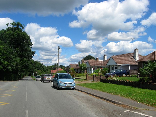
Image: © Simon Carey Taken: 31 Jul 2016
The bungalows are located opposite Jolesfield Primary School and were built during the 1960s. Littleowrth Lane begins in Partridge Green at the junction with the High Street then heads north to the hamlet of Littleworth and continuers in the same direction until ending at the A272. Part of its route marks the parish boundary between West Grinstead and Cowfold denoting what is most likely an ancient droving track.
Images are licensed for reuse under creativecommons.org/licenses/by-sa/2.0
Image Location
Latitude
50.96249
Longitude
-0.302432