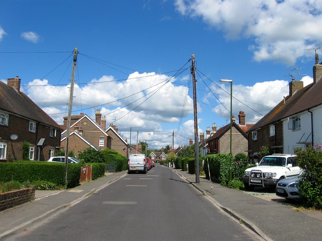
South Street, Partridge Green
Introduction
The photograph on this page of South Street, Partridge Green by Simon Carey as part of the Geograph project.
The Geograph project started in 2005 with the aim of publishing, organising and preserving representative images for every square kilometre of Great Britain, Ireland and the Isle of Man.
There are currently over 7.5m images from over 14,400 individuals and you can help contribute to the project by visiting https://www.geograph.org.uk

Image: © Simon Carey Taken: 31 Jul 2016
The first development away from the High Street with houses appearing in dribs and drabs from the 1870s onwards as the settlement of partridge Green began to develop after the arrival of the railway. The street would also provide access to both Kensett's and Kempshalls Brickworks until the 1950s when both were closed and the former was replaced by a new housing estate whilst the latter became part of Star Road Trading Estate. Prior to the development of the street much of it was a field called Long Field according to West Grinstead's 1841 tithe map.

