Footpath underbridge
Introduction
The photograph on this page of Footpath underbridge by Ian Capper as part of the Geograph project.
The Geograph project started in 2005 with the aim of publishing, organising and preserving representative images for every square kilometre of Great Britain, Ireland and the Isle of Man.

There are currently over 7.5m images from over 14,400 individuals and you can help contribute to the project by visiting https://www.geograph.org.uk
Footpath underbridge
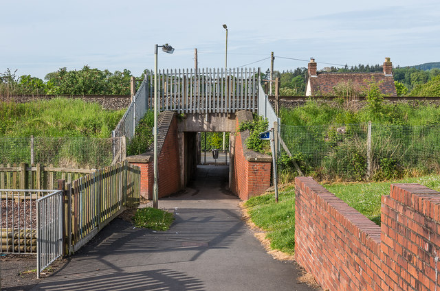
Image: © Ian Capper Taken: 19 May 2016
Bridge under the Hereford - Shrewsbury railway carrying a footpath connecting Housman Crescent with Sheet Road.
Images are licensed for reuse under creativecommons.org/licenses/by-sa/2.0
Image Location


Leaflet Map data © OpenStreetMap
Latitude
52.367487
Longitude
-2.708034