The Noel at Whitwell
Introduction
The photograph on this page of The Noel at Whitwell by Tim Heaton as part of the Geograph project.
The Geograph project started in 2005 with the aim of publishing, organising and preserving representative images for every square kilometre of Great Britain, Ireland and the Isle of Man.

There are currently over 7.5m images from over 14,400 individuals and you can help contribute to the project by visiting https://www.geograph.org.uk
The Noel at Whitwell
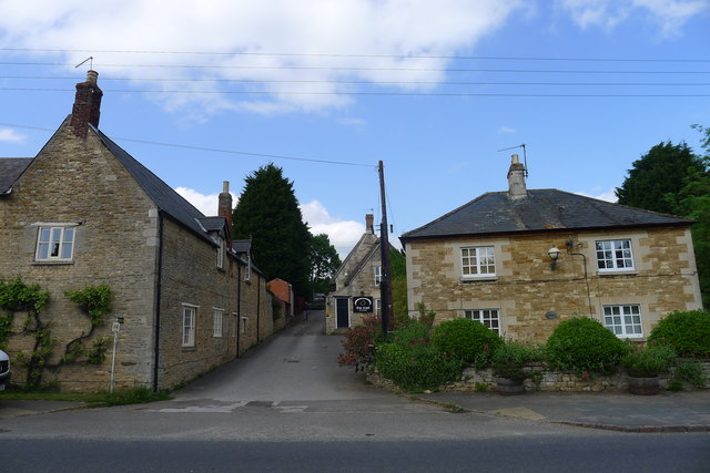
Image: © Tim Heaton Taken: 27 May 2016
Named after the Noel family of Exton, former Lords of the Manor. The Viking Way, having left Oakham and the shore of Rutland Water, heads north up this driveway on a 145 mile route to the Humber Bridge
Images are licensed for reuse under creativecommons.org/licenses/by-sa/2.0
Image Location
Latitude
52.669208
Longitude
-0.633547