Former married quarters of St Eval airfield
Introduction
The photograph on this page of Former married quarters of St Eval airfield by David Hawgood as part of the Geograph project.
The Geograph project started in 2005 with the aim of publishing, organising and preserving representative images for every square kilometre of Great Britain, Ireland and the Isle of Man.

There are currently over 7.5m images from over 14,400 individuals and you can help contribute to the project by visiting https://www.geograph.org.uk
Former married quarters of St Eval airfield
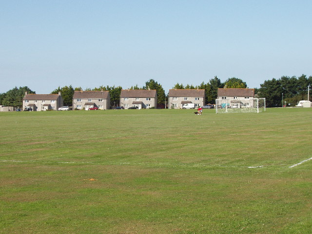
Image: © David Hawgood Taken: 2 Sep 2005
RAF St Eval was an operational airfield of Coastal Command from 1939 to 1959. It is now a transmitter station. There is a substantial residential area outside the airfield, some built to house RAF personnel and some new housing.
Images are licensed for reuse under creativecommons.org/licenses/by-sa/2.0
Image Location
Latitude
50.47537
Longitude
-4.982163