Under Rheims Way, Canterbury
Introduction
The photograph on this page of Under Rheims Way, Canterbury by pam fray as part of the Geograph project.
The Geograph project started in 2005 with the aim of publishing, organising and preserving representative images for every square kilometre of Great Britain, Ireland and the Isle of Man.

There are currently over 7.5m images from over 14,400 individuals and you can help contribute to the project by visiting https://www.geograph.org.uk
Under Rheims Way, Canterbury
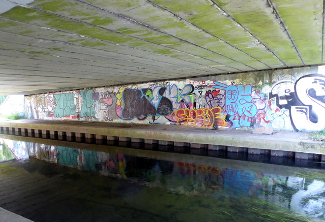
Image: © pam fray Taken: 31 Jul 2016
The Great Stour runs under the road bridge which has been decorated with graffiti.
Images are licensed for reuse under creativecommons.org/licenses/by-sa/2.0
Image Location
Latitude
51.276741
Longitude
1.072477