Milkhurst Wood
Introduction
The photograph on this page of Milkhurst Wood by Simon Carey as part of the Geograph project.
The Geograph project started in 2005 with the aim of publishing, organising and preserving representative images for every square kilometre of Great Britain, Ireland and the Isle of Man.

There are currently over 7.5m images from over 14,400 individuals and you can help contribute to the project by visiting https://www.geograph.org.uk
Milkhurst Wood
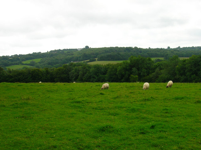
Image: © Simon Carey Taken: 25 Jul 2007
The wood is beyond the field of sheep and drops steeply to meet the River Dudwell. Beyond is the ridge containing Cade Street and Punnett's Town.
Images are licensed for reuse under creativecommons.org/licenses/by-sa/2.0
Image Location


Leaflet Map data © OpenStreetMap
Latitude
50.976546
Longitude
0.313909