Whitelees Farm and Plantation
Introduction
The photograph on this page of Whitelees Farm and Plantation by Mike Quinn as part of the Geograph project.
The Geograph project started in 2005 with the aim of publishing, organising and preserving representative images for every square kilometre of Great Britain, Ireland and the Isle of Man.

There are currently over 7.5m images from over 14,400 individuals and you can help contribute to the project by visiting https://www.geograph.org.uk
Whitelees Farm and Plantation
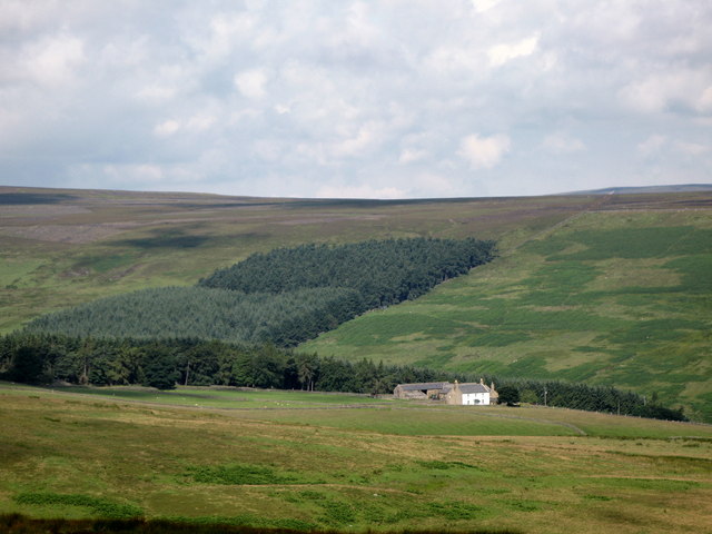
Image: © Mike Quinn Taken: 24 Jul 2007
Viewed across the valley of the Little Nookton Burn from near the minor road from Rookhope to Blanchland in Image
Images are licensed for reuse under creativecommons.org/licenses/by-sa/2.0
Image Location
Latitude
54.818333
Longitude
-2.118707