Thornwood Flood Meadow LNR
Introduction
The photograph on this page of Thornwood Flood Meadow LNR by Glyn Baker as part of the Geograph project.
The Geograph project started in 2005 with the aim of publishing, organising and preserving representative images for every square kilometre of Great Britain, Ireland and the Isle of Man.

There are currently over 7.5m images from over 14,400 individuals and you can help contribute to the project by visiting https://www.geograph.org.uk
Thornwood Flood Meadow LNR
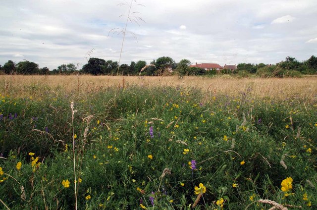
Image: © Glyn Baker Taken: 28 Jul 2016
This flood mitigation scheme was designated as a local nature reserve in 1998 see http://www.eppingforestdc.gov.uk/index.php/out-and-about/countrycare/local-nature-reserves/thornwood-flood-meadow-lnr for more information. The pink flowers are vetch and the yellow ones Birdsfoot trefoil.
Images are licensed for reuse under creativecommons.org/licenses/by-sa/2.0
Image Location
Latitude
51.719222
Longitude
0.127945