Barn Field
Introduction
The photograph on this page of Barn Field by Simon Carey as part of the Geograph project.
The Geograph project started in 2005 with the aim of publishing, organising and preserving representative images for every square kilometre of Great Britain, Ireland and the Isle of Man.

There are currently over 7.5m images from over 14,400 individuals and you can help contribute to the project by visiting https://www.geograph.org.uk
Barn Field
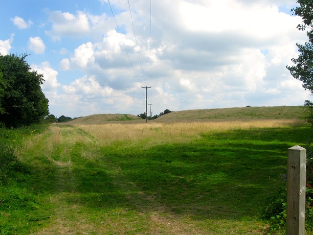
Image: © Simon Carey Taken: 23 Jul 2016
The name of the field according to West Grinstead's 1841 tithe map which was truncated by the construction of the Dial Post by-pass in the 1990s. Not sure what the mounds are for unless it's to deflect noise from the A24.
Images are licensed for reuse under creativecommons.org/licenses/by-sa/2.0
Image Location
Latitude
50.958598
Longitude
-0.357253